In town, the tin-clad house Brydebúð was built in Vestmannaeyjar in 1831 and moved to Vík in 1895. Today it houses the tourist office, the Halldórskaffi restaurant and a small museum with displays on the Katla Geopark.
Brydebúð
The South
Lonely Planet's must-see attractions

3.7 MILES
One of the South Coast’s most recognisable natural formations is the rocky plateau and huge stone sea arch at Dyrhólaey (deer-lay), which rises…

17.27 MILES
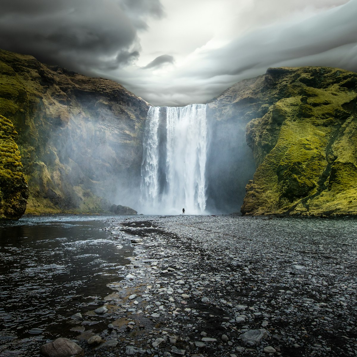
This 62m-high waterfall topples over a rocky cliff at the western edge of Skógar in dramatic style. Climb the steep staircase alongside for giddy views,…

1.69 MILES
On the western side of Reynisfjall, the high ridge above Vík, Rte 215 leads 5km down to the black-sand beach Reynisfjara. It's backed by an incredible…

13.32 MILES
One of the easiest glacial tongues to reach is Sólheimajökull. This icy outlet glacier unfurls from the main Mýrdalsjökull ice cap and is a favourite spot…

16.35 MILES
Pretty much off the tourist radar (you'll likely have the place to yourself) is this hidden 20m waterfall that you can walk behind. The short trail to it…

16.59 MILES
The highlight of little Skógar is the wonderful Skógar Folk Museum, which covers all aspects of Icelandic life. The vast collection was put together by…

16.31 MILES
In 2011 Iceland formed its first ‘geopark’ to protect a region of great geological importance, promote local culture and sustainable development, and…

7.76 MILES
About 13km east of Vík and just south of Rte 1, the small peak of Hjörleifshöfði (221m) rises above the black sands of Mýrdalssandur and offers good views…
Nearby The South attractions
0.41 MILES
High above town, Vík’s 1930s church has stained-glass windows in spiky geometrical shapes and awesome village views.
1.35 MILES
Vík’s most iconic cluster of sea stacks is known as Reynisdrangur, which rises from the ocean like ebony towers at the western end of Vík's black-sand…
1.69 MILES
On the western side of Reynisfjall, the high ridge above Vík, Rte 215 leads 5km down to the black-sand beach Reynisfjara. It's backed by an incredible…
3.7 MILES
One of the South Coast’s most recognisable natural formations is the rocky plateau and huge stone sea arch at Dyrhólaey (deer-lay), which rises…
7.76 MILES
About 13km east of Vík and just south of Rte 1, the small peak of Hjörleifshöfði (221m) rises above the black sands of Mýrdalssandur and offers good views…
11.96 MILES
On 21 November 1973, a US Navy aeroplane was forced to crash-land at Sólheimasandur. The crew all survived, but the wreckage of the militarised Douglas DC…
13.32 MILES
One of the easiest glacial tongues to reach is Sólheimajökull. This icy outlet glacier unfurls from the main Mýrdalsjökull ice cap and is a favourite spot…
16.31 MILES
In 2011 Iceland formed its first ‘geopark’ to protect a region of great geological importance, promote local culture and sustainable development, and…
- placement: superzone
- path: Destinations/POIs/superzone
- possible size: [970, 250], [970, 90], [728, 90], [1, 1],
- targeting:
{
  "url": "iceland/vik-around/attractions/brydebudj/a/poi-sig/1414229/1318074",
  "destination": "The-South",
  "continent": "Europe",
  "country": "Iceland",
  "region": "The-South",
  "position": "superzone"
}