Katla Geopark

The South


In 2011 Iceland formed its first ‘geopark’ to protect a region of great geological importance, promote local culture and sustainable development, and educate visitors. The Katla Geopark extends from Hvolsvöllur northeast to the great Vatnajökull and down to the volcanic black-sand beaches. It includes its namesake Katla volcano, the infamous Eyjafjallajökull and the torched earth at Lakagígar. All told, that's about 9% of Iceland. There is no park office, but the geopark website has information.

Of all the volcanoes in Iceland, it is thought that Katla may cause the most trouble to Icelanders over the next few years. This highly active 30km-long volcano, buried deep under the Mýrdalsjökull glacier, has erupted roughly twice per century in the past. Since the last eruption was in 1918, it’s now several decades overdue.

It’s expected that when Katla does blow, days of ash fall, tephra clouds and lightning strikes will follow the initial explosion, with flash floods caused by the sudden melting of glacial ice. The geological record shows that past eruptions have created tidal waves, which have boomeranged off the Vestmannaeyjar archipelago and deluged the area where the town of Vík stands today.

Local residents receive regular evacuation training for the day when Katla erupts. In the event of an eruption, all mobile phones within range of a tower (including yours) will receive a warning. After the alert, farmers must hang a notice on their front doors to show that they have evacuated, before unplugging their electric fences, opening cattle sheds so that their animals can flee to higher ground, and heading for one of the evacuation centres in Hvolsvöllur, Vík and Kirkjubæjarklaustur.

Lonely Planet's must-see attractions

Nearby The South attractions

1. Mýrdalsjökull

1.01 MILES

This gorgeous glacier is Iceland’s fourth-largest ice cap, covering 700 sq km and reaching a thickness of almost 750m in places. The volcano Katla snoozes…

2. Sólheimajökull

10.48 MILES

One of the easiest glacial tongues to reach is Sólheimajökull. This icy outlet glacier unfurls from the main Mýrdalsjökull ice cap and is a favourite spot…

3. Sólheimasandur

13.12 MILES

On 21 November 1973, a US Navy aeroplane was forced to crash-land at Sólheimasandur. The crew all survived, but the wreckage of the militarised Douglas DC…

4. Kvernufoss

13.7 MILES

Pretty much off the tourist radar (you'll likely have the place to yourself) is this hidden 20m waterfall that you can walk behind. The short trail to it…

5. Skógar Folk Museum

14.07 MILES

The highlight of little Skógar is the wonderful Skógar Folk Museum, which covers all aspects of Icelandic life. The vast collection was put together by…

6. Skógafoss

14.43 MILES

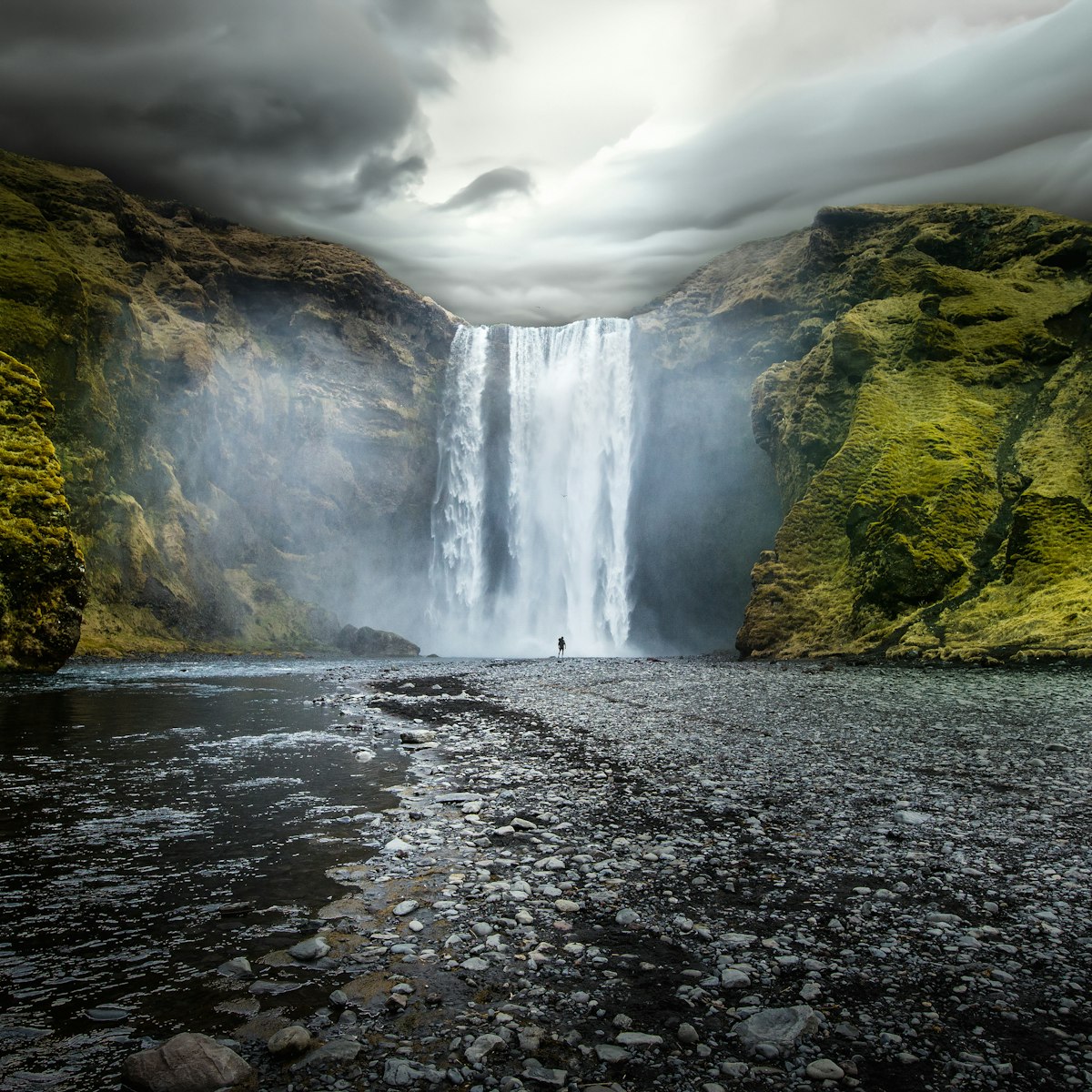
This 62m-high waterfall topples over a rocky cliff at the western edge of Skógar in dramatic style. Climb the steep staircase alongside for giddy views,…

7. Drangshlíð Rock

15.73 MILES

Impressive turf houses and old farmhouses built into an enormous freestanding rock, in front of the Eyjafjöll Mountains. Local farmers would keep their…

8. Víkurkirkja

16.19 MILES

High above town, Vík’s 1930s church has stained-glass windows in spiky geometrical shapes and awesome village views.

  • placement: superzone
  • path: Destinations/POIs/superzone
  • possible size: [970, 250], [970, 90], [728, 90], [1, 1],
  • targeting:
    {
      "url": "iceland/the-south/attractions/katla-geopark/a/poi-sig/1500535/1318065",
      "destination": "The-South",
      "continent": "Europe",
      "country": "Iceland",
      "region": "The-South",
      "position": "superzone"
    }